The drive from Puerto Escondido to Chacahua takes about 50 minutes, covers 58 kilometers along Highway 200 heading west, and passes through a stretch of coastline that most people arriving at PXM airport don’t realize exists. This is a practical guide to that route — what the road is like, what your options are, what you’ll pass, and what to expect when you arrive at the edge of the lagoon.
We get questions about this often enough that it seemed worth writing down clearly, because the information floating around online is sometimes outdated or vague about the last few kilometers.
Starting Point: PXM Airport
Puerto Escondido International Airport (PXM) sits on the eastern outskirts of Puerto Escondido, elevated slightly above the coastal plain. It’s a small airport — a single terminal, a handful of gates — that has grown considerably in traffic over the past several years as the town’s international profile has risen. Direct flights arrive from Mexico City, Oaxaca City, and a growing number of other destinations.

When you exit arrivals, you’re on the highway side of the airport. To reach Chacahua, you turn left (west) onto Highway 200. If you’re renting a car, the rental desks are inside the terminal or immediately outside it. Car rental at PXM is the most flexible option for reaching the Rancho, and the road the whole way is paved two-lane highway in good condition — nothing here requires a four-wheel drive.
The Road: Highway 200 West
Highway 200 is the main coastal highway through this part of Oaxaca. Heading west from Puerto Escondido, it runs roughly parallel to the ocean through a landscape that shifts from the commercial outskirts of the town through increasingly open country.

The road is in good condition. It’s a two-lane paved highway with the normal mix of trucks, colectivos, local traffic, and the occasional slow agricultural vehicle. Speed bumps (topes) appear in every town and at some unmarked spots — if you’re driving, slow down when you see any cluster of buildings, even small ones. That’s standard practice on all of Mexico’s coastal secondary highways, and it matters here.
Drive time is approximately 50 minutes without stops. With stops — for fuel, for food, for the surf spots — it takes as long as it takes.
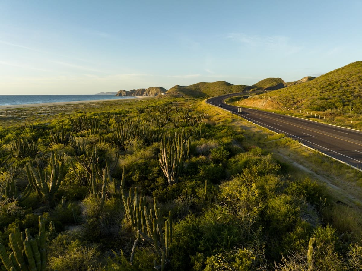
What You’ll Pass
The first stretch out of Puerto Escondido takes you past the beaches that have made the town famous for surf: Playa Zicatela and the breaks around it are just south of the road. If you know what you’re looking at, you can spot the lineups from the highway. If you don’t surf, you’ll still notice the long straight beach stretching westward and the quality of the light over it.
Past the main surf zone, the towns become smaller and the spaces between them wider. You’ll pass through a series of fishing villages and small communities — La Barra is one of the landmarks to watch for. The landscape here is dry tropical scrub interspersed with palm groves, and you’ll catch views of the ocean where the road comes close to the coast. This part of Oaxaca doesn’t get the international tourism attention that the stretch around Mazunte and Zipolite receives, which means these towns are primarily working communities rather than visitor destinations.
Palm groves appear regularly along this stretch — this is coconut country, and the rows of palms are part of the established agricultural and landscape character of the area. Small ranches sit back from the road. You’ll see horses occasionally.
The drive has a quality of gradual arrival — you’re leaving the town behind, and by the time you’re 30 kilometers out, you feel it in the quality of the road and the absence of commercial signage.
The Turn: Zapotalito
The turn for Zapotalito appears on the right (north) side of the highway — look for signage pointing toward Zapotalito and Chacahua. This is your landmark for the last stretch.
Zapotalito is a small fishing community situated at the edge of the lagoon system. The road from the highway to Zapotalito is paved, and the village sits at the point where land ends and water begins. From Zapotalito, the beach at Playa Chacahua is accessible by boat — the crossing takes about 15 to 20 minutes and is the standard way people reach the beach community. The boat operators in Zapotalito know the route and run on a schedule that fluctuates with demand.
Rancho de las Estrellas sits near Zapotalito — you don’t need to take the boat to reach us. The Rancho is on the land side of the lagoon, on private titled property adjacent to the park boundary. When you reach Zapotalito and call ahead, we can give you the specific final directions.
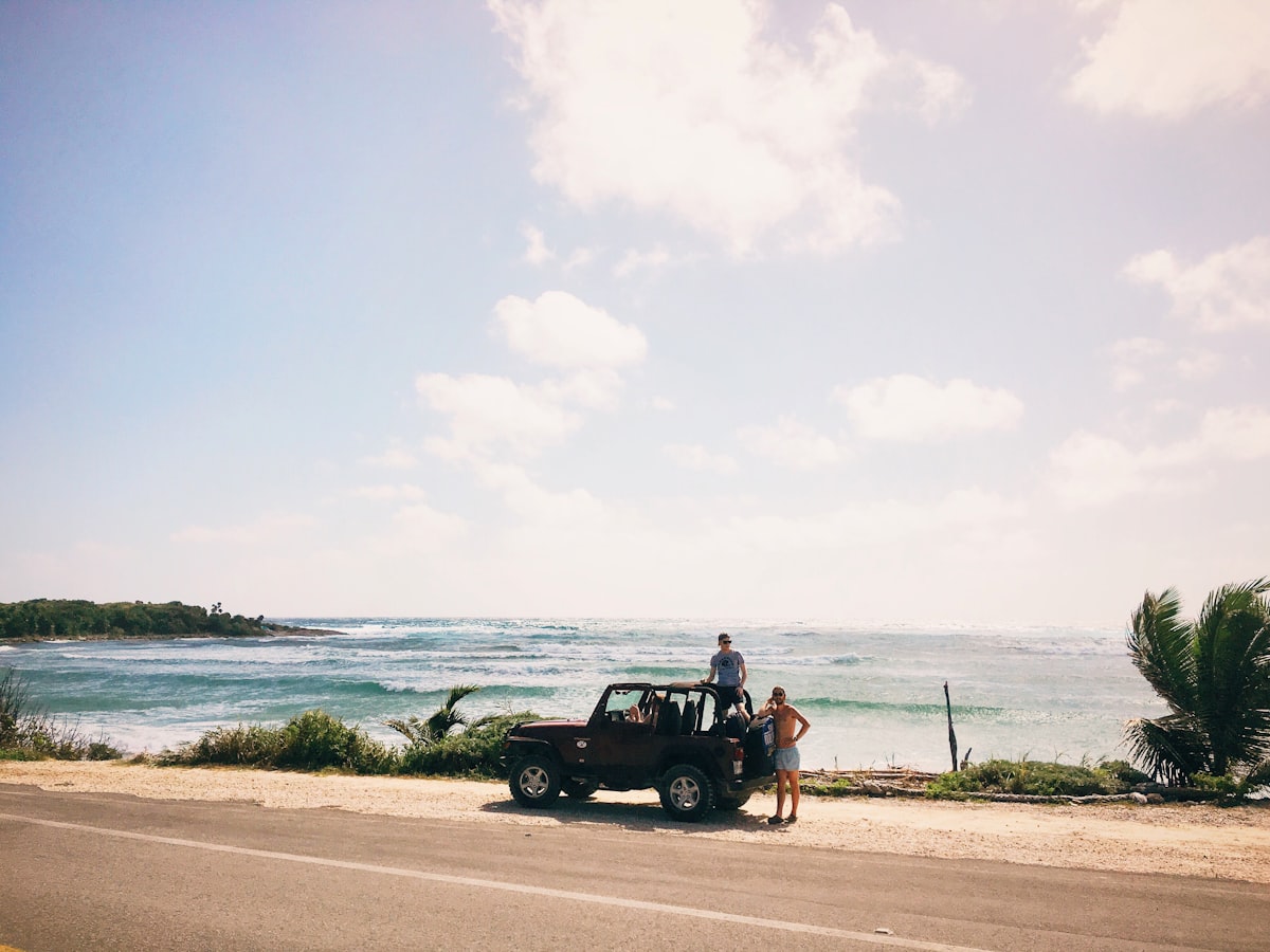
Your Transportation Options
Car rental from PXM is the most flexible option. It gives you control over your timing, allows you to stop along the route, and makes the rest of your stay easier if you need to make supply runs to Puerto Escondido. The highway is easy to drive, the distances are manageable, and having your own vehicle changes the texture of a longer stay considerably.
Colectivo is the local option. Colectivos to Zapotalito depart from the central market area in Puerto Escondido (Mercado Central). The schedule is irregular — they run when they’re full, not on fixed times — and the journey may involve a transfer or two. The fare is very low. If you’re comfortable with that kind of travel and aren’t arriving with a lot of luggage or a tight schedule, it works. It’s genuinely how most local people move between these towns.
Private transfer through the Rancho is the most straightforward option for people arriving for the first time, especially with luggage or with children. We can arrange a pickup from the airport or from anywhere in Puerto Escondido. Reach us at info@ranchodelasestrellas.com or by phone at +52 954 136 7919 and we’ll coordinate from there.
On the Question of the Road Condition
People sometimes ask whether the road requires a 4x4, whether it’s passable in wet season, or whether there are dirt stretches that make a regular car impractical. The honest answer: the main highway is paved and in good shape year-round. The last kilometer or so into the property may vary depending on conditions and the specific access point, but nothing about this route requires specialized vehicles. Standard sedans make the drive without difficulty.
What to Know Before You Arrive
A few things that will make the arrival smoother:
Bring cash from Puerto Escondido. There is no ATM in Zapotalito or the immediate area. Puerto Escondido has several, and the drive back for cash is annoying enough that it’s worth handling before you leave town.
The boat crossing from Zapotalito to Playa Chacahua costs a small fee per person and is paid to the boat operators in town. If you’re visiting the beach rather than staying at the Rancho, this is how you get there.
Signal along Highway 200 is generally adequate but varies. Once you’re in Zapotalito or at the Rancho, connectivity is functional but not the same as in town.
We’re about a 50-minute drive from the PXM airport — but it’s worth noting that the drive itself is part of arriving. The coast unfolds along the way. The transition out of town and into this part of the lagoon system happens gradually, and by the time you reach Zapotalito, you’ve already begun to understand the geography of where you are.

If You’re Ready to Visit
The visit page has everything you need to plan a stay — what we offer, what the schedule looks like, and how to reach us to confirm dates. If you’re coming to explore whether this is somewhere you want to be part of in a deeper way, the make it yours page is the right next step. Either way, we’re at info@ranchodelasestrellas.com or +52 954 136 7919 when you’re ready to be in touch.